
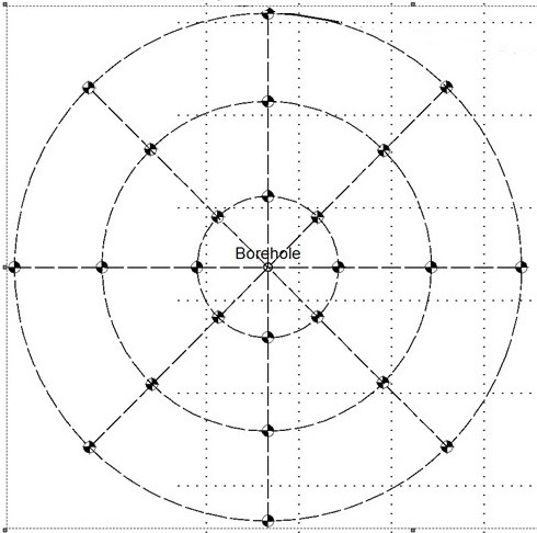
Borehole Seismic for Direction to Voids and Legacy Wells
Twenty-four hydrophones spaced 1-m or 5-m apart can be inserted in a single borehole do get direction to voids and other features next to the borehole.
Seismic shots are taken around around the borehole at regular intervals. The seismic shots are precisely located with a Trimble R12i RTK GPS with Can-Net subscription.
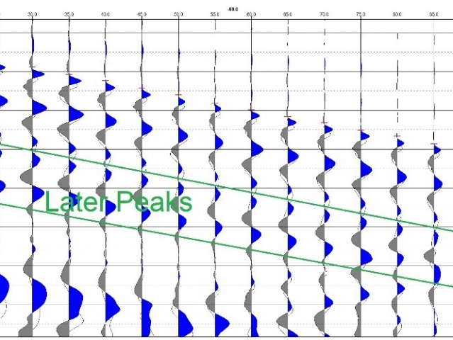
It is possible to get direction by comparing shots taken from opposing directions. Shots from opposing directions are symmetrical and generally the seismic records are identical if the target void or legacy well is centred between the shots. But if the void or legacy well is closer to one of the seismic shots, it will exhibit asymetry as per the following opposing shots.
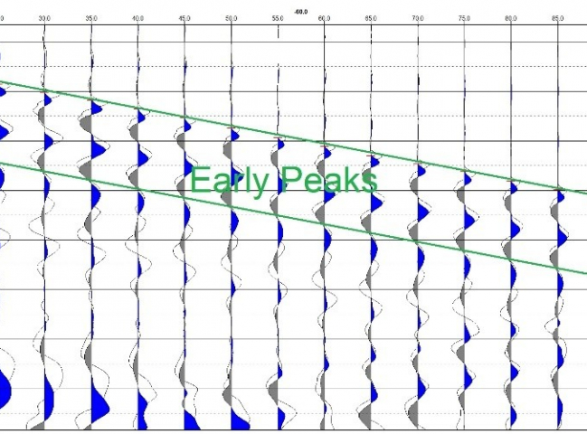
versus
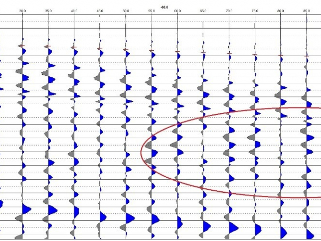
The method can also detect when the borehole appears to be approaching a nearby legacy well with additional reverberations near the bottom as indicated with the red oval.
A Geonics EM31 survey carried out on surface can map potential brine solution plumes emanating from the legacy well and borehole physical property logs such as optical & acoustic televiewer, and inductive conductivity logs can provide further evidence that the borehoel is approaching or at the legacy well.